THE CUSTOMER: UNOSAT (United Nations)
This Challenge is launched for UNOSAT, an important technology-intensive programme delivering imagery analysis and satellite solutions within and outside the United Nations.
The Problem
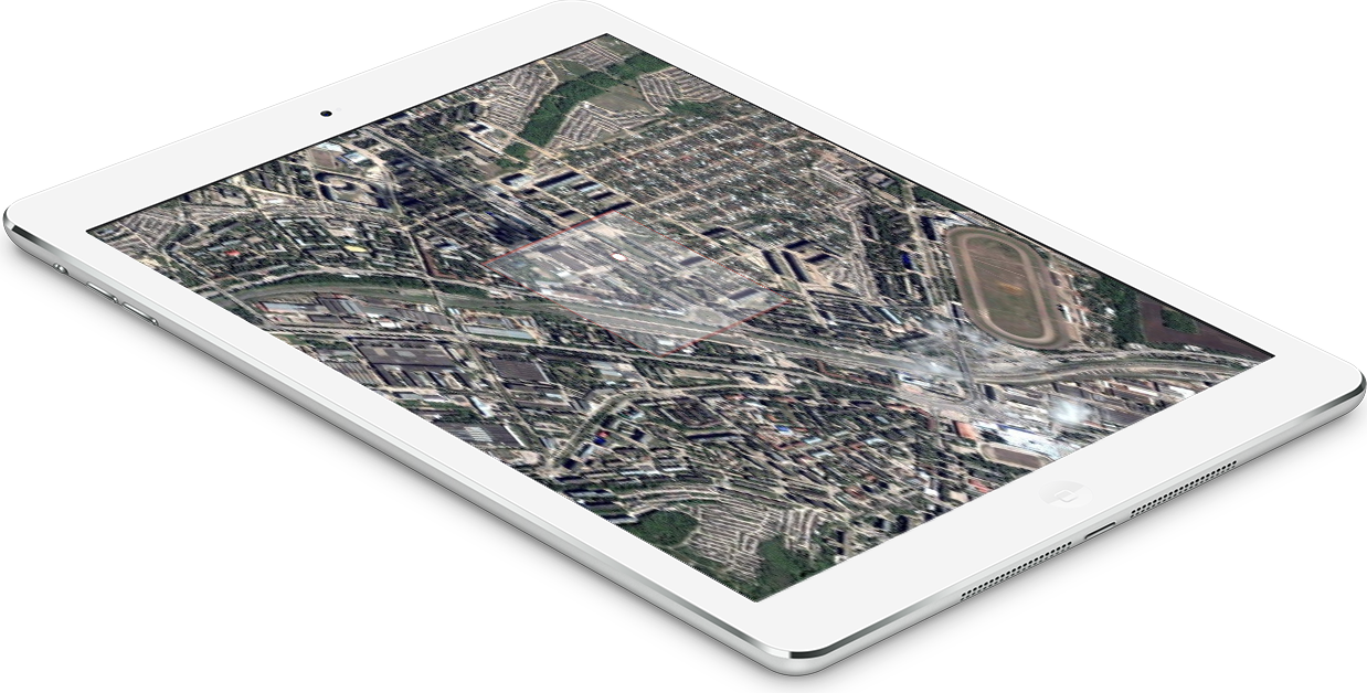
UNOSAT needs an automatic solution to detect building footprints in Iraq. This would help the local government to implement reconstruction and development activities.
Your Solution
You are asked to build an AI4EO solution to detect first urban areas and then footprints in Iraq and you will be provided with dataset and tools.
5 PREMIUM PARTNERS
ESA, UNOSAT, CERN OPENLAB, RUS AND DLR
ESA
The European Space Agency (ESA) is an intergovernmental organisation of 22 member state dedicated to the exploration of space.
UNOSAT
UNOSAT is a technology-intensive programme delivering imagery analysis and satellite solutions to relief and development organisations within and outside the UN system.
CERN openlab
CERN openlab is a unique public-private partnership, through which CERN collaborates with leading ICT companies and other research organisations in order to accelerate the development of cutting-edge ICT solutions for the research community.
The RUS Service
The RUS Service is the “New Expert Service for Sentinel Users” funded by the European Commission, managed by the European Space Agency, and operated by CS SI and its partners.
Why building footprints are so important
The request of footprints comes out of a need from a fund of the United Nations to assist the Government of Iraq to plan the October 2020 population census. The building footprints are needed to plan the implementation of the on-site survey interviews. This activity is crucial for key baseline information in support of reconstruction and development.

Phase 1 and Phase 2
Challenge Deployment: Phase 1 and Phase 2
PHASE 1
You will be asked to develop an algorithm to detect urban areas using sentinel-1 data and tools provided by ESA, the RUS Service and DLR
TOP 5 PROJECTS
TOP 5 PROJECTS OF PHASE 1 WILL HAVE ACCESS TO PHASE 2
PHASE 2
In this phase you will have to detect building footprints using very high resolution imagery (VHR) provided by UNOSAT
Prizes
Two stages of determining the winners:
PHASE 1
Top 5 projects of PHASE 1 will access to PHASE 2
PHASE 2
2000€
Traineeship at UNOSAT for best student
Best student will have the opportunity of a paid traineeship in Geneve at UNOSAT. If there is no student accessing Phase 2 among the 5 top projects, the traineeship will be offered to the best student of Phase 1 who will be allowed to access Phase 2 as well.
Timeline
Timeline and Important Dates
NOVEMBER 21
Registration Closing
DECEMBER 13
Phase 1 Final Submission
DECEMBER 22
Phase 1 Winning Teams
JANUARY 8
Launch of Phase 2
MARCH 6
Phase 2 Final Submission
MARCH 18
Winning Project


